
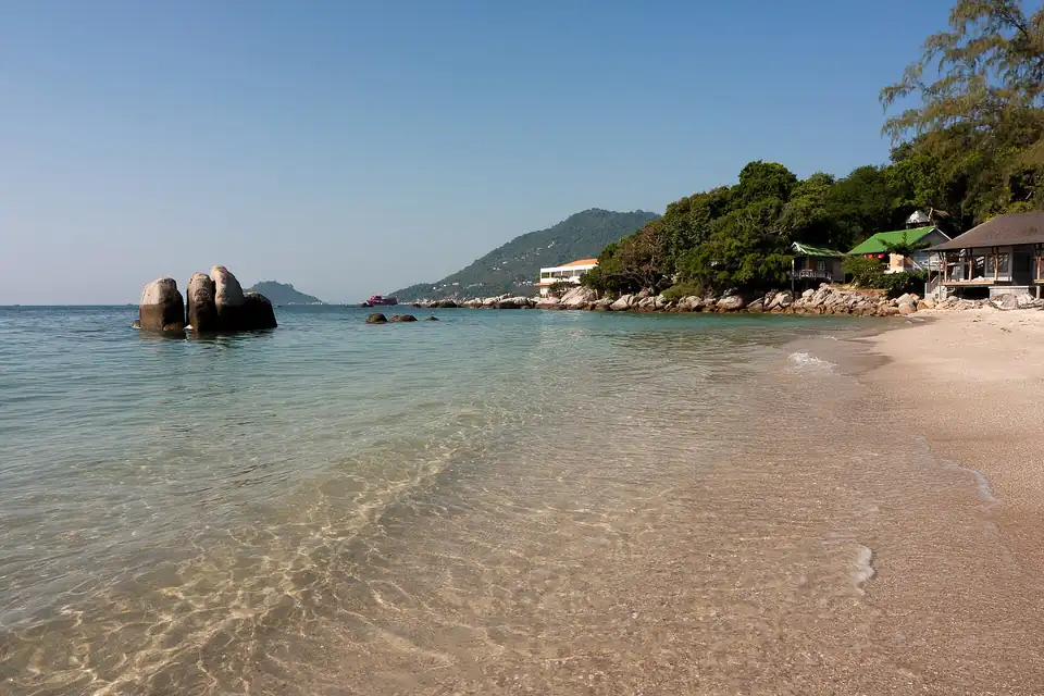
Koh Tao · Gulf Islands
Koh Tao Travel Guide
Koh Tao is small, steep and almost entirely about what is underwater. It is one of the busiest places in the world to learn to dive, which makes it cheap to do here and busy with people doing exactly that.
- Driest months
- December to April 5 months under 150mm, 15 rain days or fewer
- Best for
- Diving, and learning to dive
- Airport
- Samui (USM) or Chumphon, then ferry
- Getting around
- Hired scooter and longtail
Koh Tao is twenty-one square kilometres of granite and jungle in the Gulf, the smallest and northernmost of the three islands people mean by the Gulf islands, and it exists commercially because of one thing: the water around it is warm, shallow, sheltered and full of instructors.
Diving, which is the point
An open-water certification here takes three to four days and is taught by dozens of schools within a few hundred metres of each other on Sairee beach, which is what makes Koh Tao one of the largest and most competitive places in the world to learn. That competition is the reason for its reputation on price, and it is also the reason to compare what is actually included: instructor to student ratio, whether accommodation comes with the course, equipment, and how many dives you get. The sites are close, the boats are short, and visibility is good rather than spectacular.
The water is warm all year and we now measure it rather than saying so: the sea surface off Sairee averages 28.0C in January, its coldest month, and 31.4C in May, its warmest, from four years of marine reanalysis at the island’s own coordinates. That is the surface. A diver at thirty metres is in colder water than that figure, and in the dry season a thermocline on this coast is a real thing rather than a rumour, so bring the wetsuit the school recommends rather than the one the number suggests.
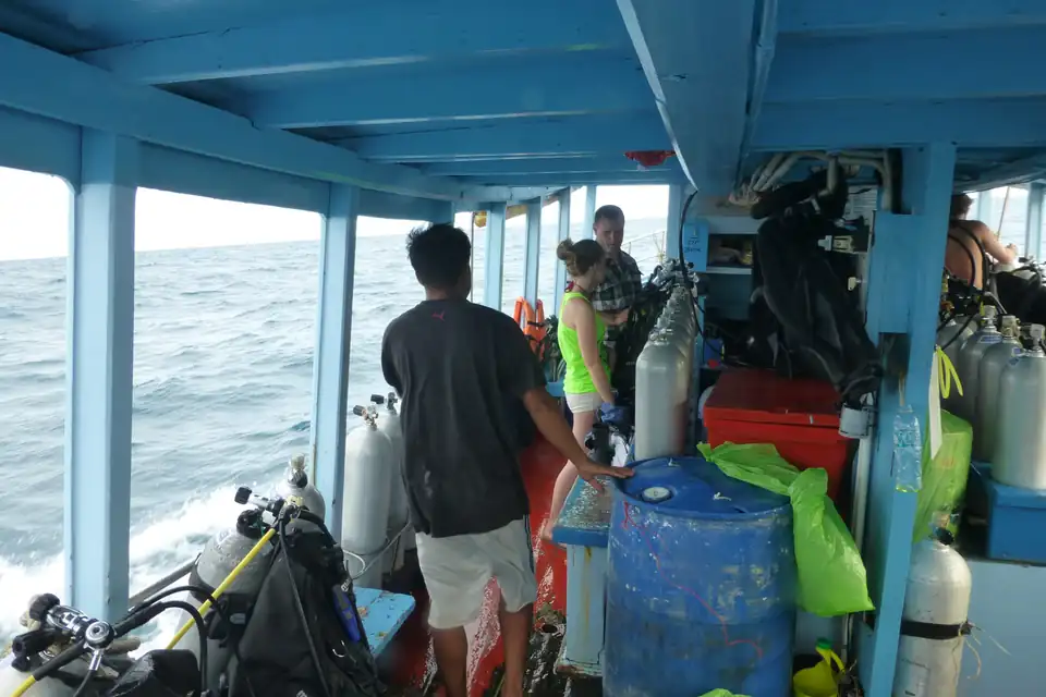
The competition is what makes it cheap and it is also the thing to be careful about. Ask about group size before you book, not about price: a course with four students to an instructor is a different experience from one with eight, and the price difference between them is small.
For people who already dive, Chumphon Pinnacle and Southwest Pinnacle are the sites worth the trip. Whale sharks pass through, and there is no season that can be promised: local dive guidance points to April and May and again to September and October as the periods when sightings tend to be stronger, but a wild animal on a migration is not a fixture. Book the diving for the diving.
If you do not dive
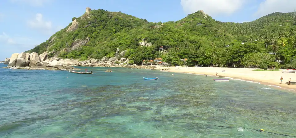
Snorkelling is genuinely good and cheap, and a longtail round the island for the day is the standard alternative. Beyond that the island is short of things to do: a few viewpoints reached by unpleasantly steep tracks, Koh Nang Yuan next door with its sandbar joining three rocks, and a lot of beach bars.
Koh Tao is not the island to choose if the water is not the plan. Phangan next door is bigger, prettier and has more to do on land.
Sairee and the rest
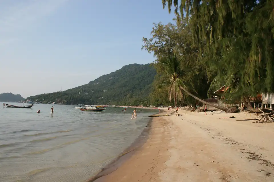
Sairee is the long west-coast beach where most of the island lives: dive schools, bars and the sunset. Mae Haad is the port. Chalok Baan Kao in the south is quieter and has the shallow bay. The east coast is a set of small bays reached by bad roads or by boat, and is where you go to be away from it.
The weather, and the crossing
Koh Tao runs on the Gulf calendar: driest from December to April, wettest in October and November, and drier than the Andaman right through the northern summer without being dry.
Two calendars are in play here and they do not coincide, which is why our figures and local guidance appear to disagree. By rainfall, the wettest months are October at 292mm and November at 273mm, and December is already back down to 123mm. By sea state, the worst is later: Sairee averages 0.76 metres of wave height in November, 0.89 in December and 0.73 in January, its three roughest months and the roughest water this site measures anywhere in the Gulf. Local guidance describes the monsoon as running from about November into January because it is describing the wind and the boats. Both are right, and for a trip to this island the sea matters more than the rain, because it is what cancels the ferry.
The specific thing to know here is the crossing rather than the island. Koh Tao is further out than Samui or Phangan and the boats are more exposed; in the November and December swell, sailings are cancelled and the two-hour crossing can be an unpleasant one. Build a spare day around a flight if you are coming in those months.
Getting there
No airport. Ferries from Koh Samui and Koh Phangan take one to two hours, and from Chumphon on the mainland about two. The overnight bus-and-boat combination from Bangkok is a rite of passage rather than a comfort.
How long to give it
Four nights if you are certifying, which is the course plus a day either side. Three otherwise, and honestly that is enough.
Getting to and from Koh Tao
Times, how often each runs, and what it costs, for every route we have checked.
Other destinations
 Bangkok
  Chiang Mai
  Phuket
  Krabi
Krabi  Koh Samui
  Khao Lak
 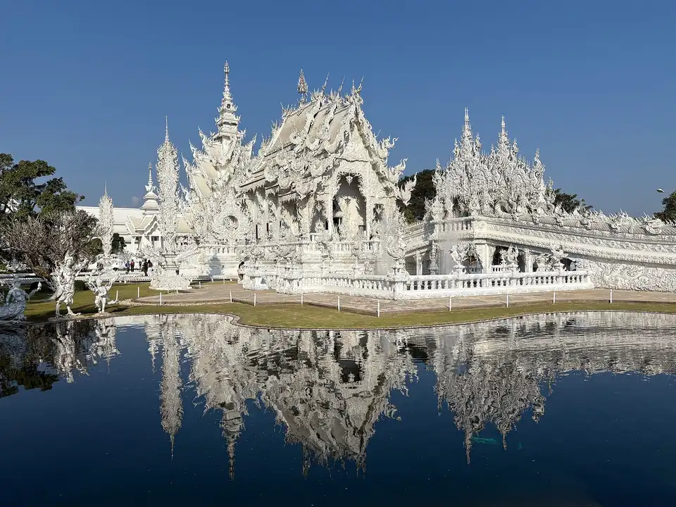 Chiang Rai
 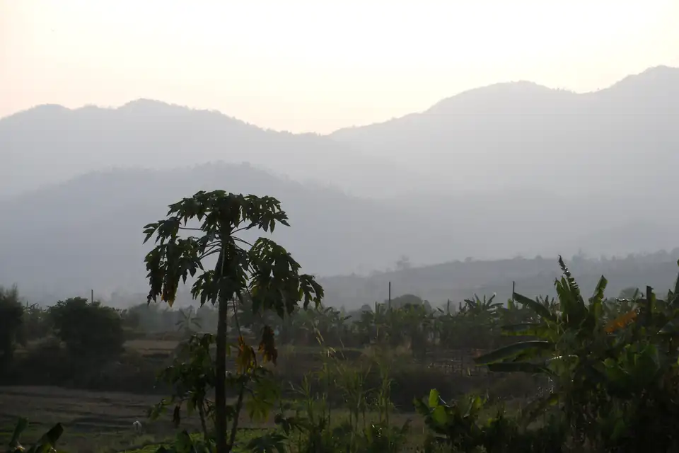 Pai
Pai  Ayutthaya
  Sukhothai
 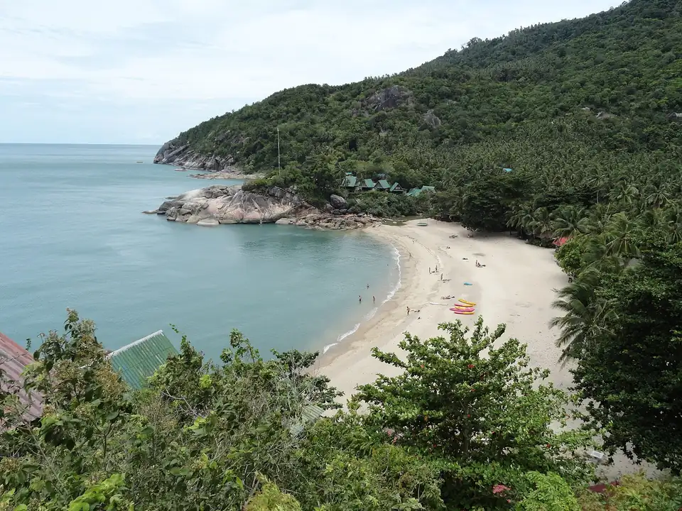 Koh Phangan
 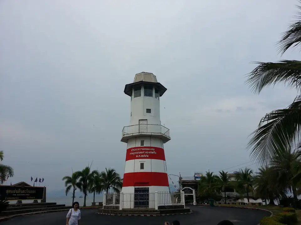 Trat
Trat  Koh Mak
  Koh Kood
  Koh Chang
  Koh Samet
  The Similan Islands
  Pattaya
  Koh Phi Phi
  Koh Lanta
  Koh Lipe
  Thailand Islands
Areas covered: Sairee, Mae Haad, Chalok Baan Kao, The east coast bays.