
Beaches
The best beach in Thailand depends on the month
Every list answering this question ranks the same ten beaches and never says when. That is the only part that matters: Thailand's two coasts are mirror images, and a beach that is the best in the country in February is the wrong answer in July. Below is four years of measured wave height for twenty-one of them, set against thirty years of rainfall.
Measured, not ranked
Wave height by month
The mean of each day's biggest wave, in metres, averaged per calendar month. Green is under 0.4m and flat; the darkest is above 0.75m and has surf in it. The current month is outlined.
| Coast and beaches | J | F | M | A | M | J | J | A | S | O | N | D |
|---|---|---|---|---|---|---|---|---|---|---|---|---|
| Andaman coast, west | ||||||||||||
| Ao Nang · Railay West · Phra Nang · Ao Nam Mao · Tonsai, Railay faces Southwest and West and South | 0.23 | 0.24 | 0.20 | 0.21 | 0.30 | 0.37 | 0.43 | 0.39 | 0.43 | 0.26 | 0.19 | 0.18 |
| Klong Muang · Tub Kaek faces West and Southwest | 0.28 | 0.28 | 0.24 | 0.22 | 0.31 | 0.36 | 0.42 | 0.39 | 0.42 | 0.26 | 0.22 | 0.22 |
| Klong Dao, Koh Lanta · Phra Ae, Koh Lanta | 0.37 | 0.36 | 0.30 | 0.29 | 0.48 | 0.56 | 0.64 | 0.58 | 0.66 | 0.44 | 0.33 | 0.35 |
| Bang Sak | 0.28 | 0.28 | 0.24 | 0.27 | 0.52 | 0.66 | 0.79 | 0.69 | 0.77 | 0.44 | 0.31 | 0.31 |
| Klong Nin, Koh Lanta | 0.43 | 0.41 | 0.35 | 0.33 | 0.53 | 0.61 | 0.69 | 0.63 | 0.71 | 0.49 | 0.40 | 0.43 |
| Khuk Khak · Pakarang Cape | 0.29 | 0.29 | 0.27 | 0.31 | 0.59 | 0.73 | 0.87 | 0.76 | 0.84 | 0.51 | 0.34 | 0.33 |
| Nang Thong, Khao Lak · Bang Niang | 0.30 | 0.30 | 0.29 | 0.35 | 0.65 | 0.80 | 0.93 | 0.82 | 0.90 | 0.57 | 0.38 | 0.34 |
| Long Beach, Phi Phi · Tonsai Bay, Phi Phi · Loh Dalum, Phi Phi faces Southeast and South and North | 0.45 | 0.46 | 0.40 | 0.37 | 0.67 | 0.78 | 0.89 | 0.80 | 0.89 | 0.59 | 0.46 | 0.45 |
| Kantiang Bay | 0.48 | 0.45 | 0.39 | 0.38 | 0.67 | 0.78 | 0.87 | 0.79 | 0.89 | 0.62 | 0.49 | 0.51 |
| Nai Yang · Mai Khao | 0.37 | 0.37 | 0.37 | 0.42 | 0.83 | 0.99 | 1.13 | 0.99 | 1.09 | 0.74 | 0.47 | 0.43 |
| Sunrise Beach, Koh Lipe · Pattaya Beach, Koh Lipe · Sunset Beach, Koh Lipe faces East and South and West | 0.61 | 0.57 | 0.48 | 0.39 | 0.77 | 0.86 | 0.99 | 0.89 | 1.02 | 0.73 | 0.59 | 0.59 |
| Bang Tao | 0.39 | 0.40 | 0.39 | 0.44 | 0.89 | 1.07 | 1.21 | 1.06 | 1.18 | 0.79 | 0.50 | 0.44 |
| Kamala · Surin | 0.44 | 0.45 | 0.43 | 0.45 | 0.93 | 1.11 | 1.26 | 1.10 | 1.23 | 0.82 | 0.53 | 0.48 |
| Patong · Karon | 0.51 | 0.53 | 0.48 | 0.47 | 0.96 | 1.14 | 1.30 | 1.14 | 1.28 | 0.85 | 0.57 | 0.54 |
| Kata · Nai Harn · Rawai faces West and Southwest and South | 0.60 | 0.61 | 0.54 | 0.50 | 1.00 | 1.18 | 1.34 | 1.17 | 1.33 | 0.88 | 0.62 | 0.61 |
| Gulf coast, east | ||||||||||||
| Bang Por | 0.45 | 0.43 | 0.33 | 0.25 | 0.28 | 0.32 | 0.36 | 0.32 | 0.36 | 0.23 | 0.41 | 0.49 |
| Pattaya Beach, Pattaya · Wong Amat | 0.26 | 0.30 | 0.36 | 0.39 | 0.39 | 0.52 | 0.58 | 0.48 | 0.48 | 0.20 | 0.28 | 0.32 |
| Jomtien | 0.27 | 0.30 | 0.35 | 0.38 | 0.39 | 0.52 | 0.59 | 0.48 | 0.48 | 0.21 | 0.30 | 0.34 |
| Lipa Noi · Taling Ngam | 0.53 | 0.55 | 0.41 | 0.30 | 0.31 | 0.32 | 0.38 | 0.33 | 0.37 | 0.24 | 0.47 | 0.56 |
| Chaweng · Bophut · Maenam · Choeng Mon · Silver Beach faces East and North and Northeast | 0.58 | 0.58 | 0.43 | 0.30 | 0.29 | 0.29 | 0.36 | 0.31 | 0.35 | 0.24 | 0.53 | 0.64 |
| Lamai | 0.61 | 0.63 | 0.46 | 0.32 | 0.32 | 0.32 | 0.39 | 0.34 | 0.37 | 0.25 | 0.54 | 0.66 |
| Haad Rin · Ban Tai faces East and South | 0.58 | 0.54 | 0.40 | 0.29 | 0.33 | 0.36 | 0.42 | 0.38 | 0.42 | 0.28 | 0.55 | 0.66 |
| Srithanu and Chao Phao | 0.56 | 0.50 | 0.38 | 0.29 | 0.34 | 0.39 | 0.45 | 0.40 | 0.46 | 0.29 | 0.54 | 0.63 |
| Haad Yao · Chaloklum faces West and North | 0.56 | 0.50 | 0.38 | 0.30 | 0.35 | 0.40 | 0.46 | 0.41 | 0.46 | 0.30 | 0.55 | 0.64 |
| Tawaen, Koh Larn | 0.32 | 0.38 | 0.45 | 0.47 | 0.46 | 0.58 | 0.66 | 0.54 | 0.54 | 0.25 | 0.35 | 0.39 |
| Thong Nai Pan · Bottle Beach faces East and North | 0.60 | 0.55 | 0.41 | 0.30 | 0.35 | 0.38 | 0.44 | 0.40 | 0.44 | 0.30 | 0.58 | 0.68 |
| Ao Phai, Koh Samet · Ao Wong Duean · Ao Wai, Koh Samet · Ao Prao · Sai Kaew, Koh Samet faces East and West and Northeast | 0.32 | 0.37 | 0.38 | 0.38 | 0.47 | 0.64 | 0.73 | 0.62 | 0.63 | 0.27 | 0.34 | 0.36 |
| Samae, Koh Larn · Nual, Koh Larn faces West and South | 0.34 | 0.39 | 0.45 | 0.47 | 0.47 | 0.60 | 0.68 | 0.56 | 0.57 | 0.26 | 0.37 | 0.42 |
| White Sand Beach · Klong Prao · Kai Bae | 0.35 | 0.34 | 0.30 | 0.28 | 0.46 | 0.68 | 0.83 | 0.69 | 0.75 | 0.31 | 0.38 | 0.42 |
| Chalok Baan Kao | 0.65 | 0.53 | 0.39 | 0.34 | 0.39 | 0.47 | 0.51 | 0.48 | 0.51 | 0.36 | 0.67 | 0.78 |
| Ao Kao, Koh Mak · Ao Suan Yai faces Southwest and Northwest | 0.35 | 0.36 | 0.32 | 0.28 | 0.49 | 0.75 | 0.93 | 0.77 | 0.85 | 0.35 | 0.41 | 0.43 |
| Klong Chao · Ao Tapao · Ao Phrao | 0.34 | 0.36 | 0.33 | 0.27 | 0.51 | 0.79 | 0.99 | 0.81 | 0.91 | 0.36 | 0.39 | 0.39 |
| Lonely Beach | 0.39 | 0.38 | 0.34 | 0.30 | 0.51 | 0.76 | 0.93 | 0.77 | 0.85 | 0.35 | 0.44 | 0.47 |
| Sairee | 0.73 | 0.60 | 0.44 | 0.38 | 0.42 | 0.50 | 0.56 | 0.52 | 0.55 | 0.39 | 0.76 | 0.89 |
| Tanote Bay | 0.72 | 0.61 | 0.46 | 0.38 | 0.43 | 0.50 | 0.56 | 0.53 | 0.56 | 0.39 | 0.74 | 0.86 |
The two coasts are mirror images, and the sea says so too
This site already measures the rainfall on both coasts and finds them about three months out of step. The wave data is a completely separate measurement from a completely separate model, and it lands on the same answer: the Andaman peaks at 1.34m in July and the Gulf peaks at 0.99m in July.
Two independent datasets agreeing is worth more than either on its own. It also gives the rule that decides a beach holiday here: pick the coast from your dates, then pick the beach. The rainfall, month by month
The Krabi bays are three times calmer than Phuket's west coast
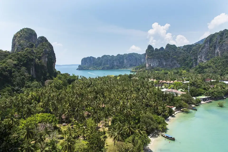
Ao Nang, Railay and Phra Nang never exceed 0.43m in any month of the year. Kata, Nai Harn and the Phuket west coast reach 1.34m. They are sixty kilometres apart in the same sea.
The reason is geography rather than luck: Krabi's beaches sit inside Phang Nga bay with Phuket island itself between them and the open Andaman Sea. If you want water you can actually swim in during the shoulder months, this is the single most useful fact on the page. Krabi guide
The Gulf in July is calmer than the Andaman in any month
Chaweng and its neighbours sit around 0.3m through the northern summer. Phuket's west coast does not go below 0.47m in its calmest month, and is above 1.1m in July. If your dates are fixed to a European or British school holiday, the Gulf is not a compromise. It is the better beach.
All 71 of them
Which way each one faces is the thing that explains its numbers, and it is read off the map rather than measured.
-
Patong
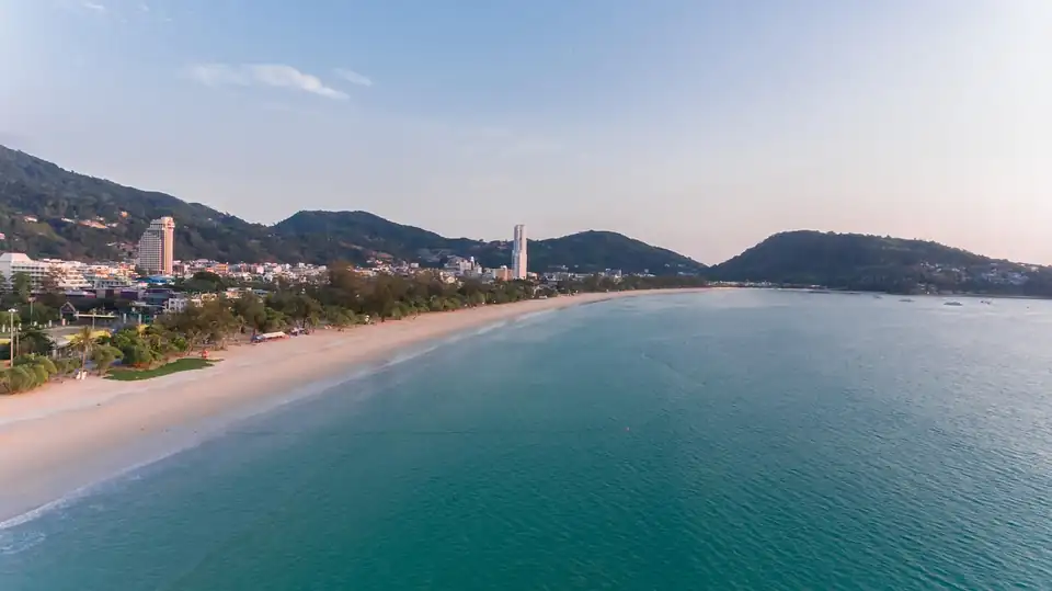
Phuket's loudest and busiest beach, three kilometres of sand behind a wall of bars and hotels.
Calm and dry Mar
Patong in full -
Kata
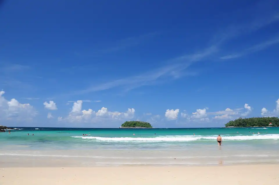
The one most people mean by a Phuket beach: broad, swimmable, busy without being Patong.
Calm and dry no month meets both
Kata in full -
Karon
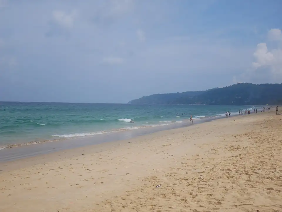
Longer and quieter than Kata next door, with the squeaking white sand Phuket is known for.
Calm and dry Mar
Karon in full -
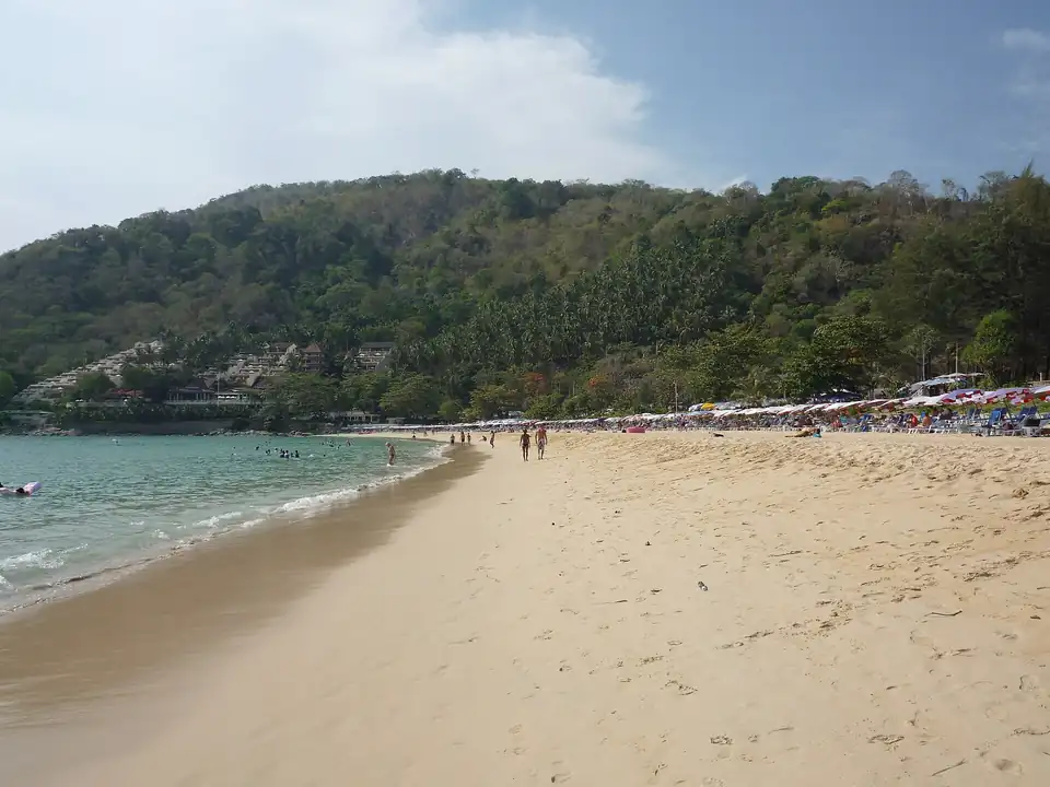
Nai Harn
A near-perfect bay at the southern tip, backed by a lagoon rather than a strip.
Calm and dry no month meets both
Nai Harn in full -
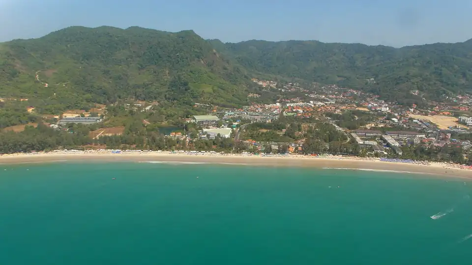
Kamala
A village beach north of Patong, calmer in every sense and still walkable end to end.
Calm and dry Jan, Feb, Mar, Dec
Kamala in full -
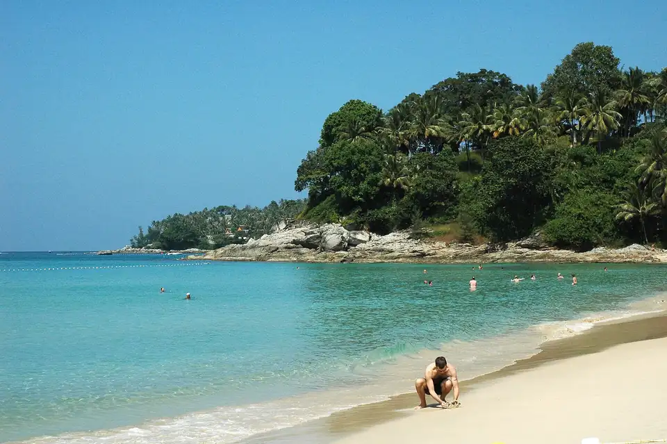
Surin
A short curve of sand between Kamala and Bang Tao, backed by casuarina trees rather than a strip.
Calm and dry Jan, Feb, Mar, Dec
Surin in full -
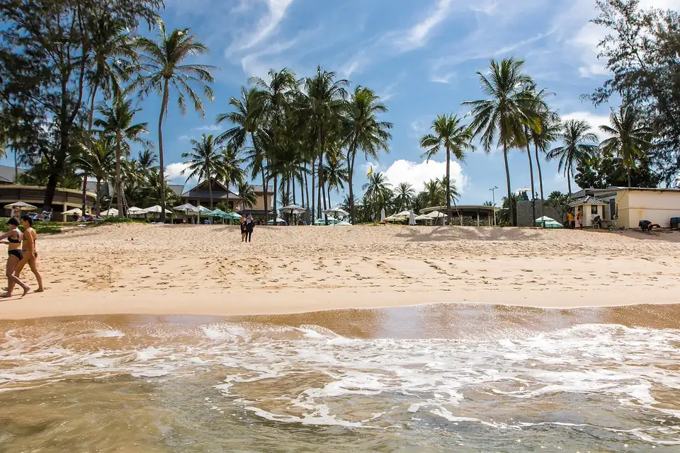
Bang Tao
Six kilometres of it, most of it in front of resorts, and the widest sand on the island.
Calm and dry Jan, Feb, Mar, Dec
Bang Tao in full -
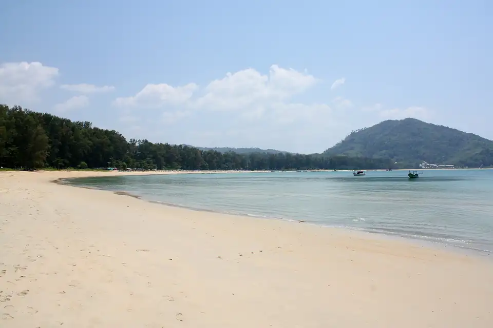
Nai Yang
A long shallow bay inside Sirinat national park, and the beach closest to the airport.
Calm and dry Jan, Feb, Mar, Dec
Nai Yang in full -
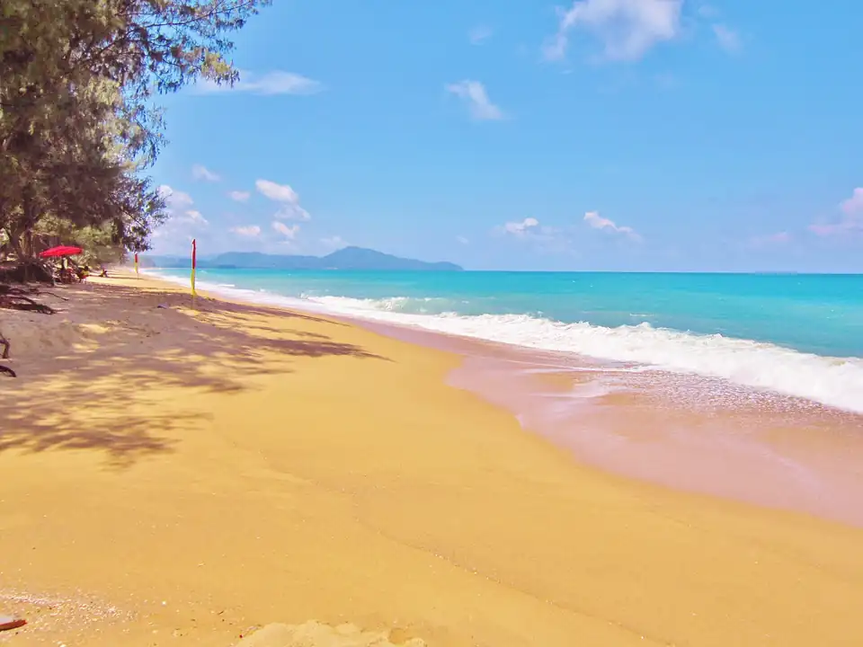
Mai Khao
Phuket's longest and emptiest beach, under the airport approach and inside a national park.
Calm and dry Jan, Feb, Mar, Dec
Mai Khao in full -
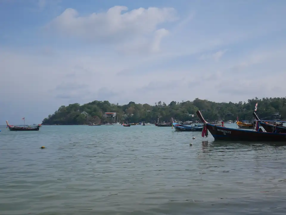
Rawai
Not a swimming beach but the island's sheltered side, and the pier for the offshore islands.
Calm and dry no month meets both
Rawai in full -
Nang Thong, Khao Lak
The main beach at Khao Lak, long and low-key, and the jumping-off point for the Similans.
Calm and dry Jan, Feb, Mar, Dec
Khao Lak guide -
Bang Niang
The busiest of the Khao Lak beaches, with the night market and most of the restaurants behind it.
Calm and dry Jan, Feb, Mar, Dec
Khao Lak guide -
Khuk Khak
North of Bang Niang, quieter and more spread out, with the larger resorts set back from the sand.
Calm and dry Jan, Feb, Mar, Dec
Khao Lak guide -
Pakarang Cape
A headland of reef and shallow flats, the kite-surfing end of the coast and poor for swimming at low tide.
Calm and dry Jan, Feb, Mar, Dec
Khao Lak guide -
Bang Sak
The far north: casuarina trees, almost nothing built, and the emptiest sand within reach of Khao Lak.
Calm and dry Jan, Feb, Mar, Dec
Khao Lak guide -
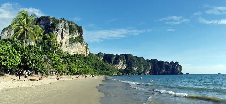
Ao Nang
Krabi's main beach and its transport hub, with longtails to everywhere better.
Calm and dry Jan, Feb, Mar, Dec
Krabi guide -
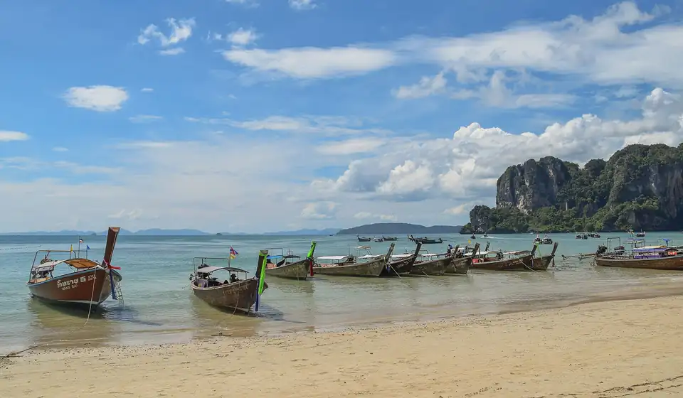
Railay West
Reached only by boat, walled in by limestone, and the postcard most people have seen.
Calm and dry Jan, Feb, Mar, Dec
Krabi guide -
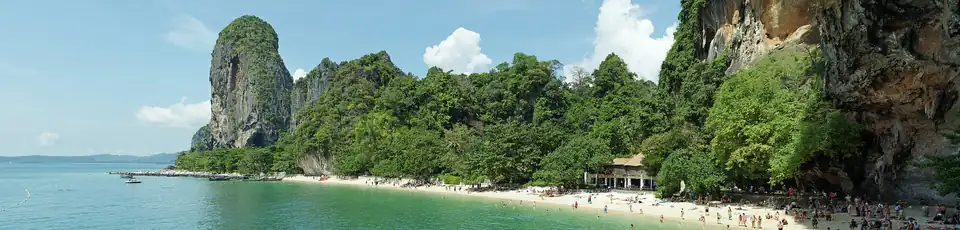
Phra Nang
A small beach under a cliff with a cave shrine at one end, and the best water on the peninsula.
Calm and dry Jan, Feb, Mar, Dec
Krabi guide -
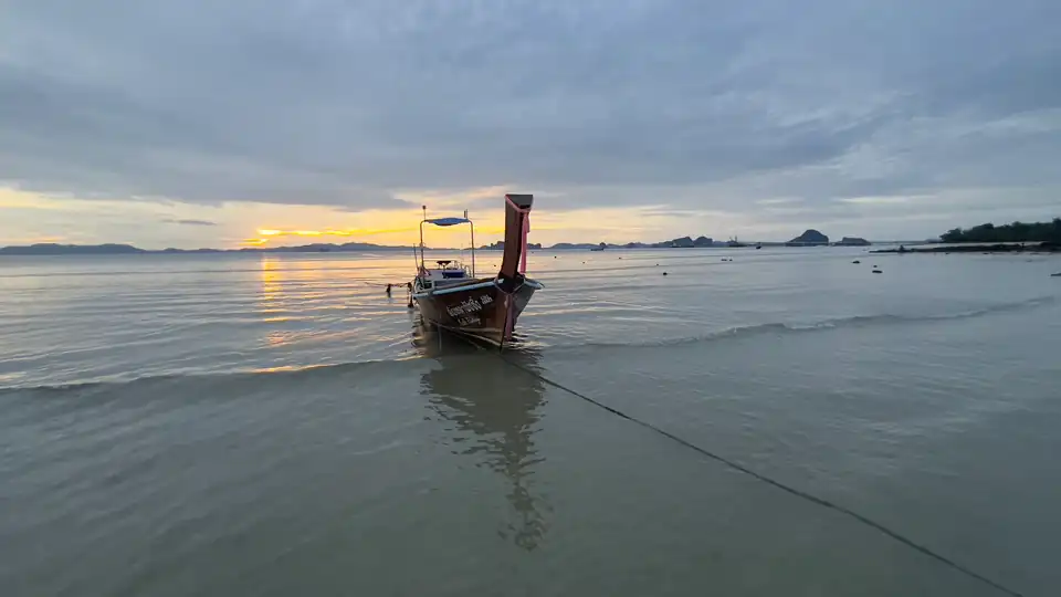
Klong Muang
The quiet resort strip north of Ao Nang, facing open water across to Phuket.
Calm and dry Jan, Feb, Mar, Dec
Krabi guide -
Tub Kaek
The far northern end of the Krabi coast, under Khao Ngon Nak, and the quietest sand in the province.
Calm and dry Jan, Feb, Mar, Dec
Krabi guide -
Ao Nam Mao
Not a swimming beach: the pier for Railay and the Hong islands, on a wide muddy tidal flat.
Calm and dry Jan, Feb, Mar, Dec
Krabi guide -
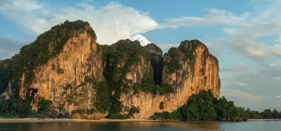
Tonsai, Railay
The climbers' bay next to Railay West, reached on foot at low tide or by boat.
Calm and dry Jan, Feb, Mar, Dec
Krabi guide -
Long Beach, Phi Phi
Phi Phi Don's swimming beach, twenty minutes from the pier and a different island from Tonsai.
Calm and dry Jan, Feb, Mar, Dec
Koh Phi Phi guide -

Kantiang Bay
Koh Lanta's southern bay, a horseshoe of sand a long way from anything.
Calm and dry Jan, Feb, Mar
Koh Lanta guide -
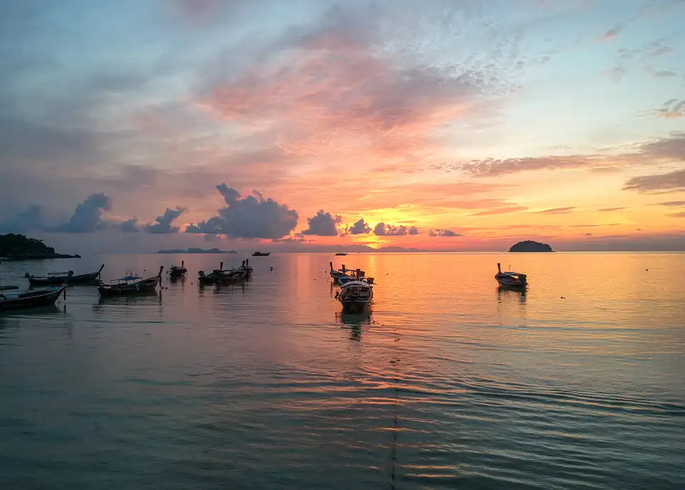
Sunrise Beach, Koh Lipe
The quiet side of Lipe, facing the sunrise and sheltered when the west coast is not.
Calm and dry Mar
Koh Lipe guide -
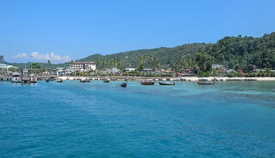
Tonsai Bay, Phi Phi
Where the ferries land and where the island's noise is, on the southern neck of the isthmus.
Calm and dry Jan, Feb, Mar, Dec
Koh Phi Phi guide -
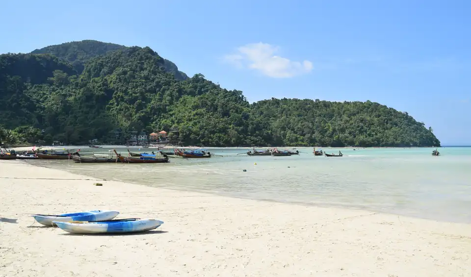
Loh Dalum, Phi Phi
The northern half of the same isthmus, a shallow crescent that empties almost completely at low tide.
Calm and dry Jan, Feb, Mar, Dec
Koh Phi Phi guide -
Klong Dao, Koh Lanta
Lanta's northern beach, wide and shallow, and the one families book.
Calm and dry Jan, Feb, Mar, Dec
Koh Lanta guide -
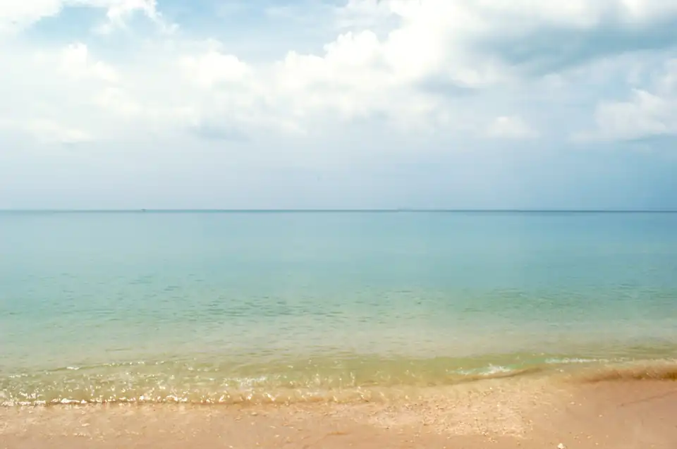
Phra Ae, Koh Lanta
Long Beach: four kilometres of sand and most of the island's places to eat.
Calm and dry Jan, Feb, Mar, Dec
Koh Lanta guide -
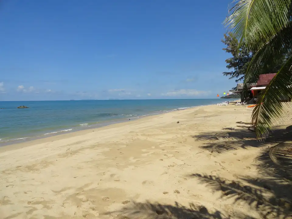
Klong Nin, Koh Lanta
Halfway down the island, quieter than the north and still with somewhere to have dinner.
Calm and dry Jan, Feb, Mar, Dec
Koh Lanta guide -
Pattaya Beach, Koh Lipe
Lipe's main beach, where the speedboats arrive and the walking street begins.
Calm and dry Mar
Koh Lipe guide -
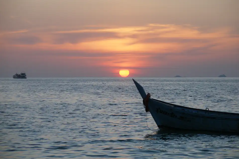
Sunset Beach, Koh Lipe
The smallest of the three, a short strip on the western tip with a handful of places to stay.
Calm and dry Mar
Koh Lipe guide -
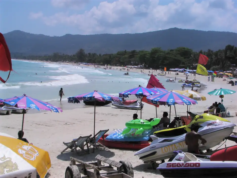
Chaweng
Koh Samui's longest and busiest beach, seven kilometres of it facing the Gulf.
Calm and dry Mar, Apr
Chaweng in full -
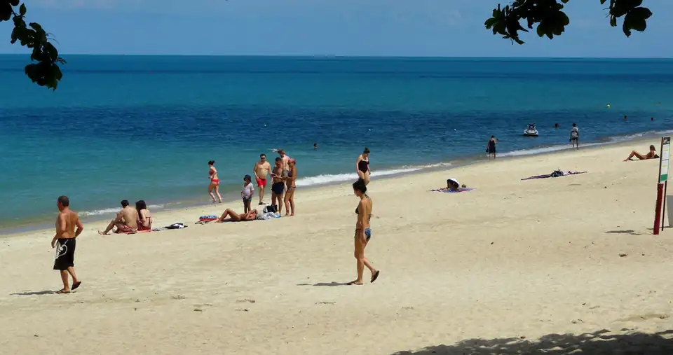
Lamai
Chaweng's smaller neighbour, with more sand per person and a shorter strip behind it.
Calm and dry Mar, Apr
Lamai in full -
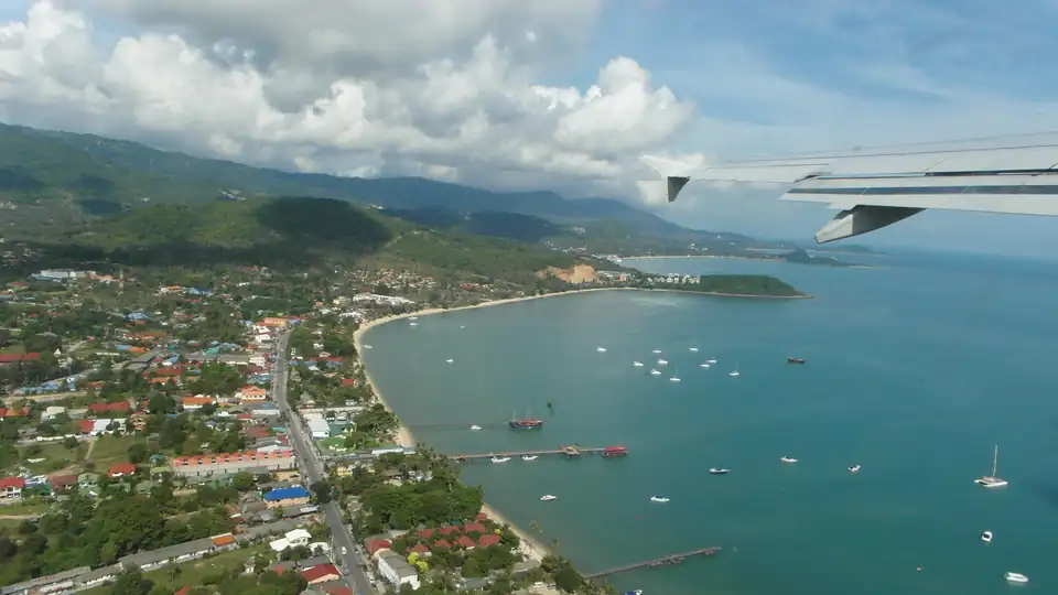
Bophut
The north-coast beach behind Fisherman's Village, calm and shallow and better for families.
Calm and dry Mar, Apr
Bophut in full -
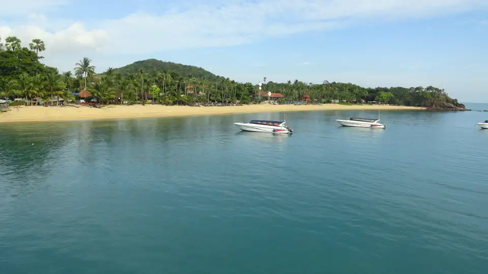
Maenam
Five kilometres on the north coast, low-rise and unhurried, with the island's longest run of quiet sand.
Calm and dry Mar, Apr
Maenam in full -
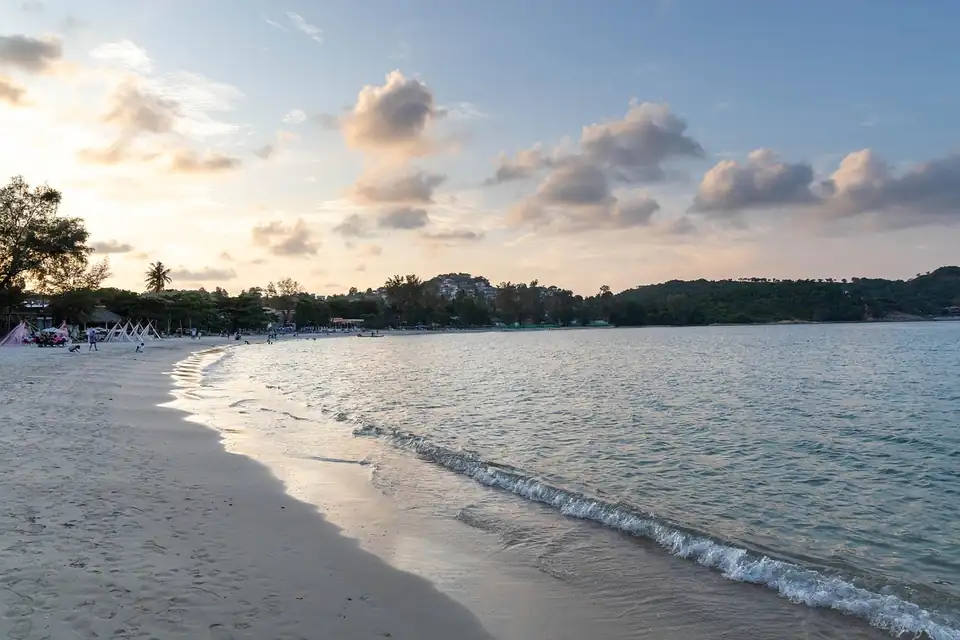
Choeng Mon
A rounded bay at the northeast corner, sheltered by a headland and shallow a long way out.
Calm and dry Mar, Apr
Choeng Mon in full -
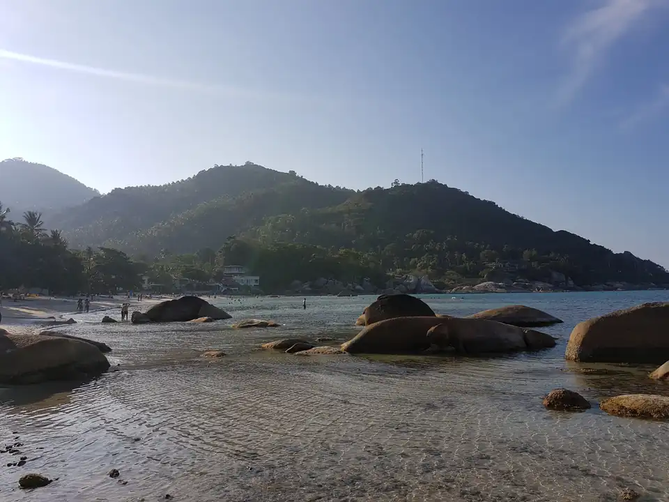
Silver Beach
A small cove between Chaweng and Lamai, hemmed in by rocks at both ends and clear because of it.
Calm and dry Mar, Apr
Silver Beach in full -
Bang Por
The far northwest, a long shallow shelf with almost nothing built on it and local seafood at the road.
Calm and dry Jan, Feb, Mar, Apr
Koh Samui guide -
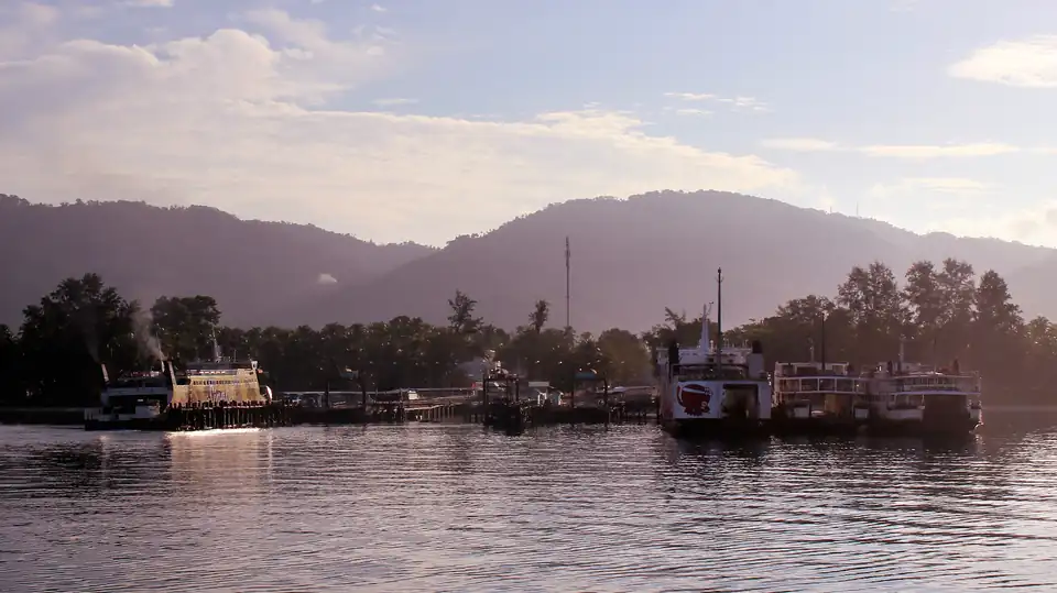
Lipa Noi
The west coast south of Nathon: a very shallow shelf, almost no development, and the island's flattest water.
Calm and dry Mar, Apr
Lipa Noi in full -
Taling Ngam
The west coast, facing the mainland and the Five Islands, with the island's best sunsets and its softest water.
Calm and dry Mar, Apr
Koh Samui guide -
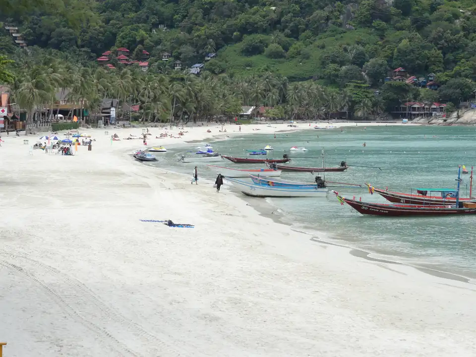
Haad Rin
Koh Phangan's southern point, and the beach the Full Moon Party happens on.
Calm and dry Mar, Apr
Koh Phangan guide -
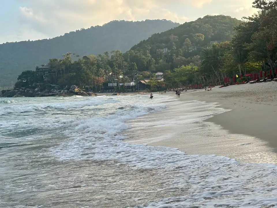
Thong Nai Pan
Two bays on Phangan's northeast corner, a long way from Haad Rin in every sense.
Calm and dry Mar, Apr
Koh Phangan guide -
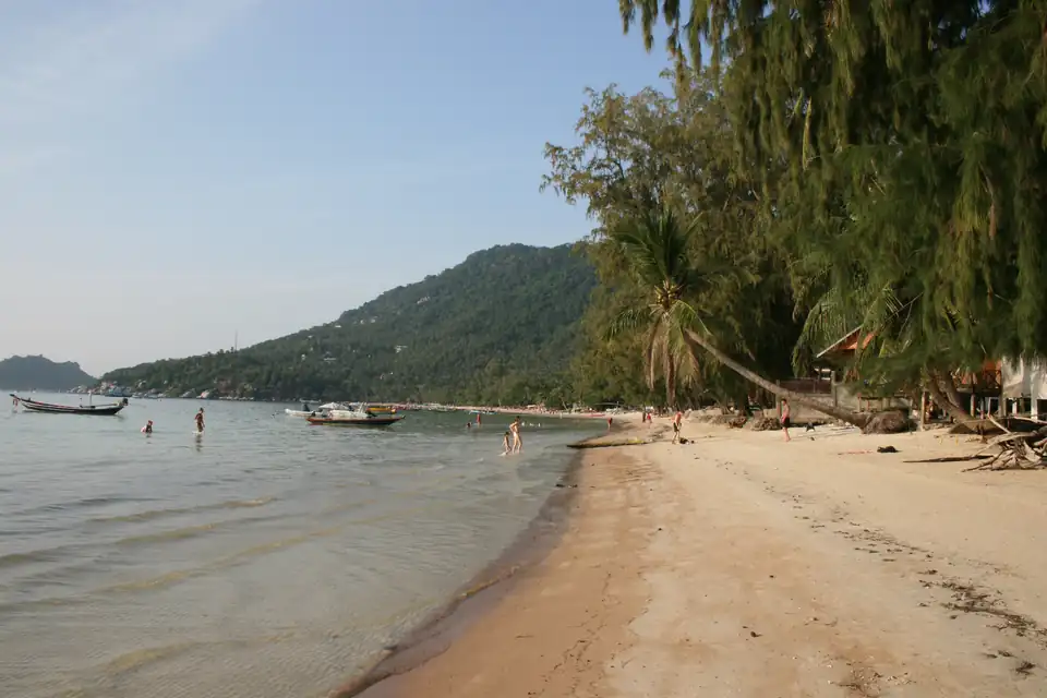
Sairee
Koh Tao's main beach and the centre of the busiest dive scene in the country.
Calm and dry Mar, Apr
Sairee in full -
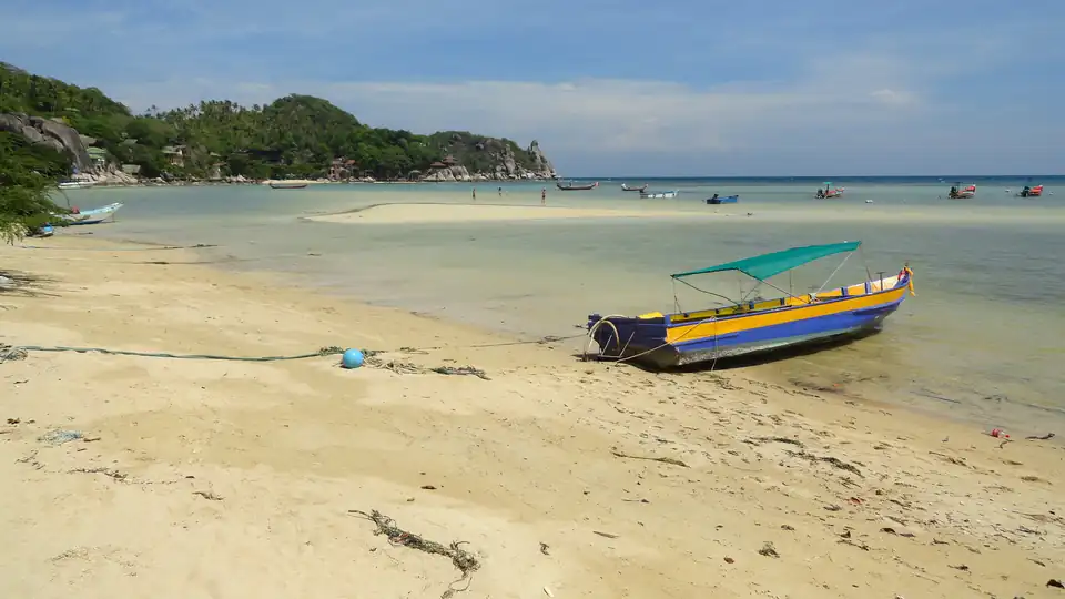
Chalok Baan Kao
The rounded southern bay with a shallow reef flat, and the compromise most repeat visitors settle on.
Calm and dry Mar, Apr
Koh Tao guide -
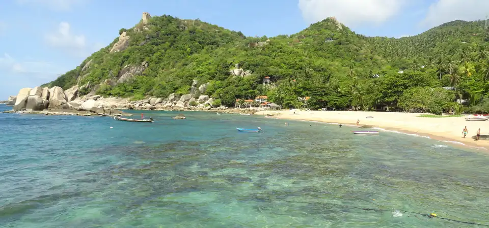
Tanote Bay
The main east-coast bay: rocky, clear, sheltered when the west coast is not, and a steep road in.
Calm and dry Mar, Apr
Koh Tao guide -
Klong Chao
Koh Kood's main beach: a river mouth at one end, a long shallow curve, and most of the island's places to stay.
Calm and dry Jan, Feb, Mar, Nov, Dec
Koh Kood guide -
Ao Tapao
South of Klong Chao and quieter, with the same shallow water and fewer people in it.
Calm and dry Jan, Feb, Mar, Nov, Dec
Koh Kood guide -
Ao Phrao
Further south again, long and almost empty, and a drive from anywhere that serves dinner.
Calm and dry Jan, Feb, Mar, Nov, Dec
Koh Kood guide -
White Sand Beach
Koh Chang's longest and busiest beach, and the one nearly everyone books first.
Calm and dry Jan, Feb, Nov, Dec
Koh Chang guide -
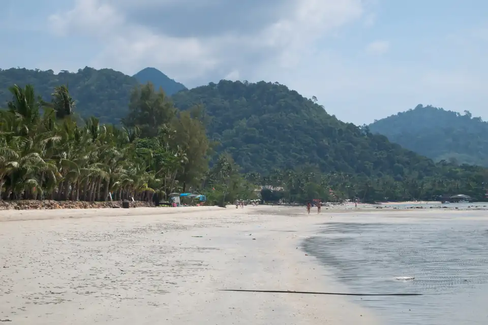
Klong Prao
Three kilometres split by two estuaries, with the island's widest sand and least to walk to.
Calm and dry Jan, Feb, Nov, Dec
Koh Chang guide -
Kai Bae
Narrow at high tide, with islets offshore and the best sunsets on the island.
Calm and dry Jan, Feb, Nov, Dec
Koh Chang guide -
Lonely Beach
Hat Tha Nam, the backpacker end: small, steep-shelving and the only nightlife worth the name.
Calm and dry Jan, Feb, Nov, Dec
Koh Chang guide -
Ao Phai, Koh Samet
Just south of Sai Kaew and a step quieter, with the same sand and fewer bars on it.
Calm and dry Jan, Feb, Mar, Apr, Nov, Dec
Koh Samet guide -
Ao Wong Duean
A near-circular bay halfway down the east coast, with a handful of hotels and its own boat service.
Calm and dry Jan, Feb, Mar, Apr, Nov, Dec
Koh Samet guide -
Ao Wai, Koh Samet
A small southern cove with one resort on it and a long walk or a taxi to anywhere else.
Calm and dry Jan, Feb, Mar, Apr, Nov, Dec
Koh Samet guide -
Ao Prao
Samet's only west-facing beach, which is the whole of its claim: the sunset.
Calm and dry Jan, Feb, Mar, Apr, Nov, Dec
Koh Samet guide -
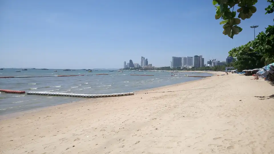
Pattaya Beach, Pattaya
The four-kilometre curve the city is named after, with the promenade, the traffic and the reputation.
Calm and dry Jan, Feb, Mar, Apr, Nov, Dec
Pattaya guide -
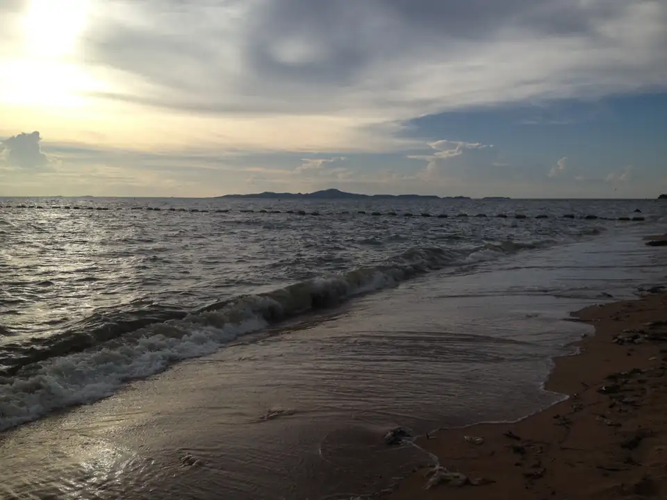
Jomtien
Six kilometres south of the centre and a different town in effect: wider, flatter, and where the families are.
Calm and dry Jan, Feb, Mar, Apr, Nov, Dec
Pattaya guide -
Wong Amat
North of the centre at Naklua, the quietest of the three and the one with the hotels people book twice.
Calm and dry Jan, Feb, Mar, Apr, Nov, Dec
Pattaya guide -
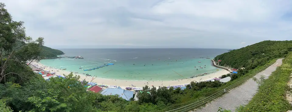
Tawaen, Koh Larn
Koh Larn's busiest beach, where the ferries and the day trips land.
Calm and dry Jan, Feb, Mar, Apr, Nov, Dec
Pattaya guide -
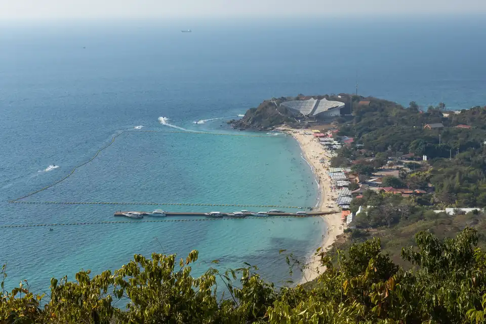
Samae, Koh Larn
The long west-facing bay on the far side of the island, and the sunset one.
Calm and dry Jan, Feb, Mar, Apr, Nov, Dec
Pattaya guide -
Nual, Koh Larn
The small southern cove, furthest from the pier and the quietest sand on the island.
Calm and dry Jan, Feb, Mar, Apr, Nov, Dec
Pattaya guide -
Haad Yao
The long west-coast beach, and the one with a reef close enough to snorkel off the sand.
Calm and dry Mar, Apr
Koh Phangan guide -
Srithanu and Chao Phao
The wellness and long-stay coast, quiet, with the island's sunsets and very little nightlife.
Calm and dry Mar, Apr
Koh Phangan guide -
Chaloklum
A working fishing village on the north coast, with the island's best seafood and almost no beach.
Calm and dry Mar, Apr
Koh Phangan guide -
Ban Tai
The south coast between the pier and Haad Rin: shallow, unremarkable sand and the usual base for the Full Moon.
Calm and dry Mar, Apr
Koh Phangan guide -
Bottle Beach
Haad Khuat, reached by boat or a hard walk, and the most cut-off beach on the island.
Calm and dry Mar, Apr
Koh Phangan guide -
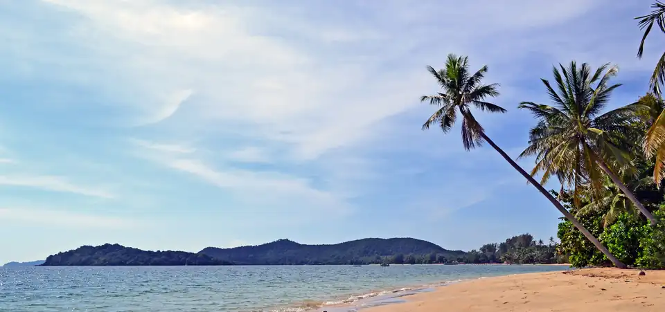
Ao Kao, Koh Mak
Koh Mak's main beach: a long shallow curve on the southwest side with most of the island's rooms.
Calm and dry Jan, Feb, Mar, Nov, Dec
Koh Mak guide -
Ao Suan Yai
The northwest bay, looking across to Koh Chang, and the sunset side of a very flat island.
Calm and dry Jan, Feb, Mar, Nov, Dec
Koh Mak guide -
Sai Kaew, Koh Samet
Koh Samet's busiest beach, on the island's northeast corner and the closest good sand to Bangkok.
Calm and dry Jan, Feb, Mar, Apr, Nov, Dec
Koh Samet guide
What this measurement is, and what it is not
Four years, not thirty
The marine archive begins in 2022. The rainfall on this site is thirty years of ERA5; this is four. It is what exists, and it is enough to show a seasonal shape but not enough to call any single month unusual.
The grid is about five kilometres
Which is why the table above is by coastal cell rather than by beach. Kata, Nai Harn and Rawai resolve to one cell and carry one set of figures, and Rawai faces south while Kata faces west. Where a row covers beaches pointing different ways, it says so.
Modelled sea, not the shore break
A sandbar, a headland or a reef changes what actually breaks on the sand. These figures describe the sea arriving at the coast, which is the part that follows the season.
Waves are not the only hazard
Rip currents can run on a beach that looks calm, and they are what the red flags on Phuket's west coast are for during the monsoon. What actually goes wrong in Thailand
open-meteo marine reanalysis, 2022 to 2025, at each beach's own coordinates. Rainfall from era5 reanalysis, 1995 to 2024, at each destination's coordinates.
Start from your dates instead
Frequently asked questions
What is the best beach in Thailand?+
It depends entirely on the month, which is why every list that answers it without one is guessing. The Andaman coast is calmest from November to April and roughest in July; the Gulf is the reverse, calmest around October and roughest in July. Pick the coast from your dates, then pick the beach.
Which Thai beaches are calmest?+
The Krabi bays, by a wide margin. Ao Nang, Railay and Phra Nang sit inside Phang Nga bay behind Phuket island, and their roughest month averages 0.43m against 1.34m on Phuket's west coast. That is roughly three times calmer, in the same sea, sixty kilometres apart.
Can you swim in Thailand during the monsoon?+
On the other coast, yes. During the southwest monsoon the Gulf islands are in their dry season and their calmest water of the year, while the Andaman is not. On the Andaman itself in those months, red flags on the west-coast beaches mean rip currents, and they are not decoration.
Which side of Phuket has the best beaches?+
The west, which is where all the famous ones are and also where the swell arrives. The east and south of the island, around Rawai and Chalong, are sheltered but are not swimming beaches. In the monsoon that trade is worth knowing about; the rest of the year the west coast is simply better.
Is Maya Bay open?+
It reopened after its closure but with strict limits: no boats moor in the bay itself, visitor numbers are capped, and it closes annually for part of the year. Check before you build a day around it, because the rules have changed more than once.