
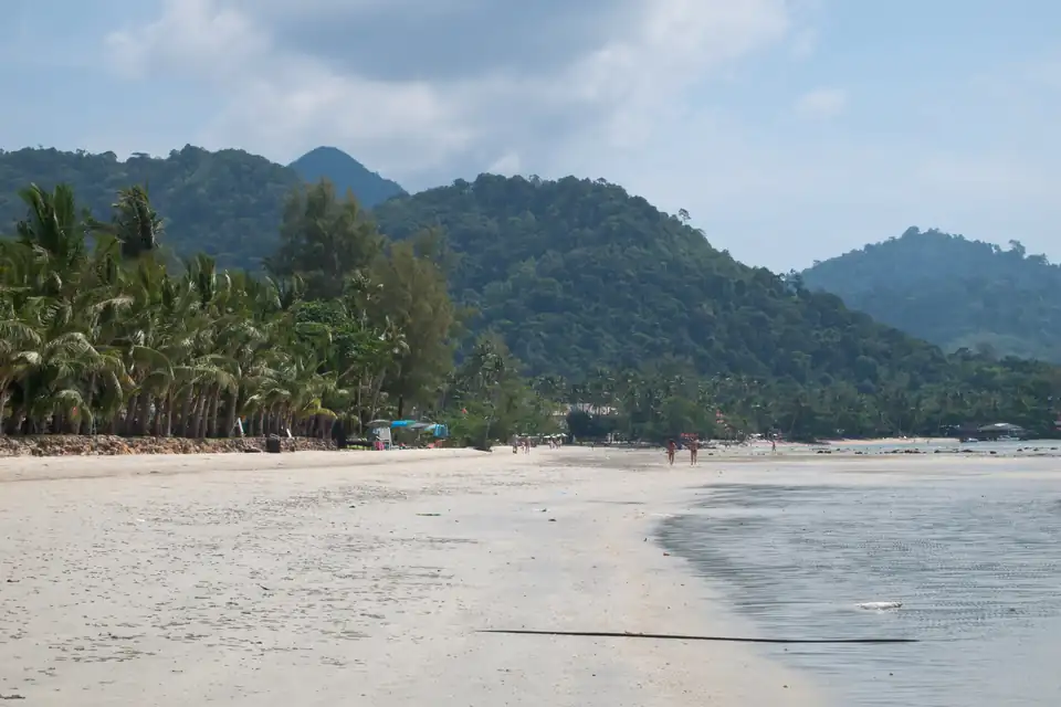
Koh Chang · Central Thailand
Koh Chang Travel Guide
Thailand's second-largest island, in Trat near the Cambodian border, and the one most people have not been to. Seventy per cent of it is national park: a mountain spine under rainforest with a road round the western edge and four beaches strung along it.
- Driest months
- November to February 4 months under 150mm, 15 rain days or fewer
- Best for
- Rainforest and beaches, November to April
- Airport
- Trat (TDX), then a ferry, or six hours from Bangkok
- Getting around
- Hired scooter, or the shared songthaews on the west-coast road
Koh Chang is the second-largest island in Thailand and the one fewest people have been to. It sits in Trat province near the Cambodian border, six hours from Bangkok, and about seventy per cent of it is national park: a spine of forested mountain rising to just under 750 metres, with a road running down the western edge and four beaches strung along it.
That is the appeal, and this is the cost: it is one of the three wettest places this site measures, and the other two are its neighbours.
The rain is the headline, and the numbers are extraordinary
- Rainfall, millimetres per month
- Koh Samui, for comparison
Driest is December at 21mm over 4 rain days, wettest is July at 566mm over 30 rain days. Against Koh Samui, Koh Chang is wetter in 9 months of the twelve, and the largest gap is in July.
Thirty years of reanalysis put July at 566mm across 30 rain days. For scale, the wettest month on the Andaman coast is Khao Lak’s September at 400mm, and Khao Lak’s page describes its own year as severe. Koh Chang’s July is forty per cent wetter than that.
It is not even the wettest in its own province. Koh Mak takes 675mm in the same month and Koh Kood 624. The three of them are the three wettest places on this site and they lie within forty kilometres of each other, so this is a regional fact rather than a Koh Chang one.
It is not one bad month either. May through September run 357, 466, 566, 495 and 500, with 29 or 30 rain days in each. The annual total is 3,155mm, third here behind Koh Mak and Koh Kood.
And then it stops. December takes 21mm across four rain days, January 40, February 50. That is a swing of twenty-seven times between the driest month and the wettest, which is the most extreme range on this site.
So the planning rule for Koh Chang is unusually blunt. November to March, and preferably December to February. Outside it you are not looking at showers, you are looking at a month of rain with a day off.
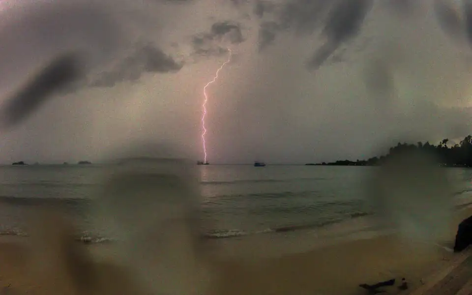
The four beaches, north to south
Almost everything is on the west coast, along one road, so choosing is about character rather than distance.
White Sand Beach (Hat Sai Khao) is the longest and busiest, and where most first visits land. It has the most restaurants and the most to walk to, and it is the least quiet.
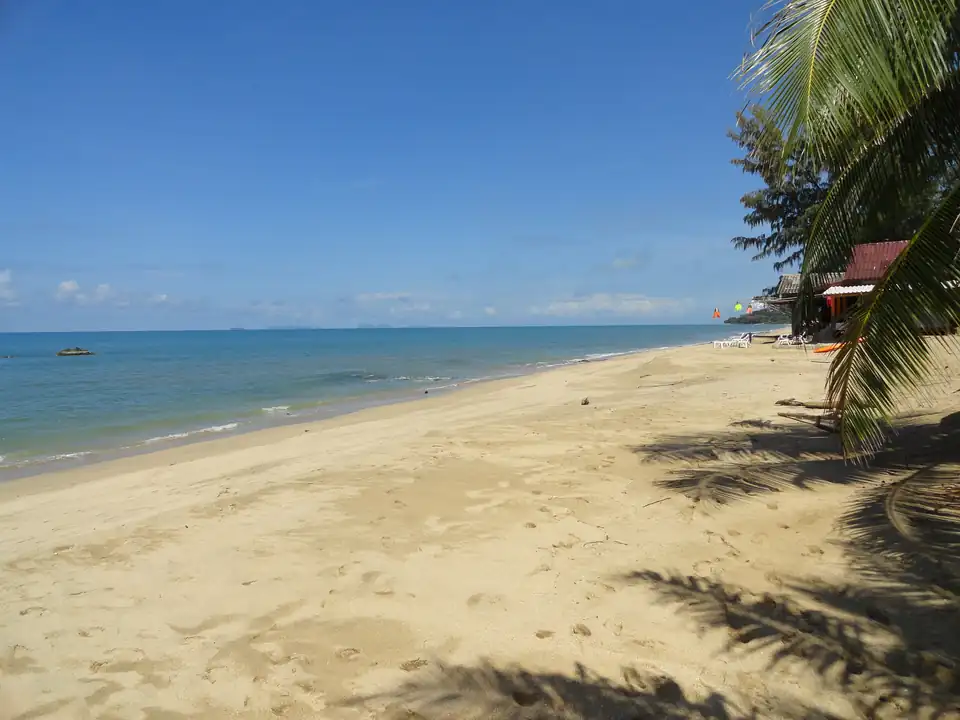
Klong Prao is the widest sand on the island, three kilometres of it split by two estuaries, with resorts spread thinly and very little to walk to. It is the best beach here and the one that most needs transport.
Kai Bae is narrower, disappearing at high tide in places, with small islands offshore that make the sunsets. It is the compromise: quieter than White Sand, less isolated than Klong Prao.
Lonely Beach (Hat Tha Nam) is the backpacker end and the only nightlife worth the name. It is small, shelves more steeply than the others, and has a reputation for a rip.
Beyond it the road runs to Bang Bao, a fishing village built out on stilts over the water, now largely seafood restaurants and dive shops, and the departure point for the boats to Koh Wai, Koh Mak and Koh Kood.
What the sea measurement can and cannot separate
Four years of marine reanalysis put the island’s west coast between 0.28 metres and 0.83 at its roughest in July, which is calm by Andaman standards and rougher than the Gulf islands. Lonely Beach, far enough south to fall in its own cell, runs slightly higher at 0.30 to 0.93.
White Sand, Klong Prao and Kai Bae share a single five-kilometre cell and therefore a single series, so the model cannot tell them apart. Everything that actually differs between those three, the width of the sand, what happens at low tide, how far it is to dinner, is not something a wave figure measures. The beaches page sets out what that measurement is and is not.
The interior, which is the real reason to come
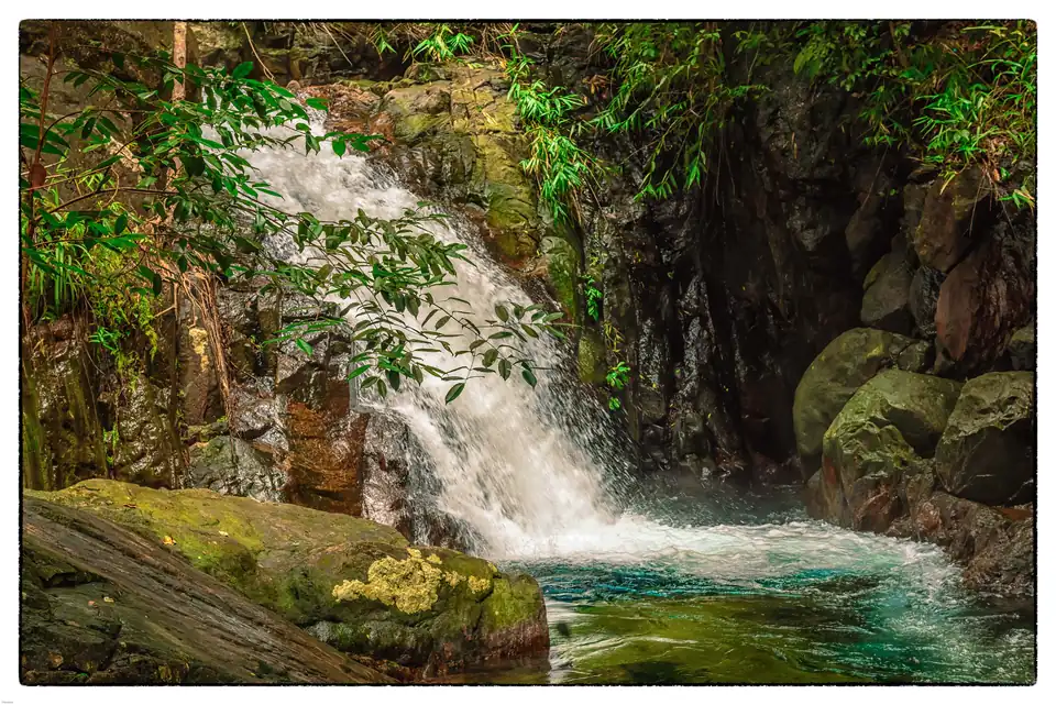
The mountains are what make Koh Chang different from every island in the Gulf and most on the Andaman. There is genuine rainforest, there are waterfalls, Klong Plu being the accessible one, and there are trails that need a guide rather than a map.
The awkwardness is that the interior is at its best when the coast is at its worst. A waterfall in February is a trickle; a waterfall in July is spectacular and reached along a path you would not enjoy.
Getting there
There is no bridge. Ferries run from Laem Ngop, near Trat, and take about forty-five minutes, through the day and less often in the evening. Trat is five to six hours from Bangkok by bus or car; there are also flights to Trat airport, about an hour, and then half an hour to the pier.
It is a long way, and that is most of the reason the island is quieter than its size suggests. Koh Samet at three hours from Bangkok gets the weekend traffic that Koh Chang does not.
The road, and a warning
The west-coast road is the only road, and between the beaches it has two short, very steep sections. They have a bad reputation and it is deserved: hired scooters and steep wet descents account for a steady stream of injuries here.
Shared songthaews run the length of the road for a small fare and are the sensible way to move between beaches if you are not a confident rider. This is not a place to learn.
How long, and what it pairs with
Five to seven nights. It is too far to justify less and there is enough between the beaches, the interior and the boats to the smaller islands to fill it.
The natural extension is onward rather than back: Koh Mak and Koh Kood are a boat ride from Bang Bao and are quieter still. Where Koh Chang sits against every other island in the country, month by month, is on the islands overview.
Koh Chang FAQs
Is Koh Chang worth visiting?+
If you want a mountainous, forested island with beaches attached rather than a beach with a hill behind it, yes, and there is nothing else quite like it in Thailand. Seventy per cent of it is national park. The costs are the journey, six hours from Bangkok, and the rain, which is the heaviest this site measures anywhere.
When is the best time to visit Koh Chang?+
November to March, and December to February in particular: December takes 21mm of rain, January 40 and February 50. Outside that window it is severe. July takes 566mm across 30 rain days, more than anywhere on this site bar its two neighbours: Koh Mak takes 675mm in the same month and Koh Kood 624.
How wet is Koh Chang really?+
Very. 566mm in July against Khao Lak's 400mm in September, 3,155mm across the year, and 29 or 30 rain days a month from May to September. Only Koh Mak and Koh Kood, its neighbours in the same province, are wetter. Its December, at 21mm, is also among the driest months anywhere on this site: the swing is a factor of twenty-seven.
Which beach should you stay on in Koh Chang?+
White Sand Beach for a first visit and the most to walk to, Klong Prao for the widest sand and the most space, Kai Bae for sunsets and offshore islets, and Lonely Beach for the only real nightlife. They are strung along one road down the west coast, so the choice is about character rather than distance.
How do you get to Koh Chang?+
By ferry from Laem Ngop near Trat, about 45 minutes, with the crossing running through the day. Trat is roughly five to six hours from Bangkok by road, or an hour by air to Trat airport and then half an hour to the pier. There is no bridge and no boat direct from Bangkok.
Is Koh Chang good for families?+
The northern beaches are, particularly Klong Prao, which is wide and shallow. The caution is the road: the west-coast road has two very steep sections between the beaches, and it has hurt a lot of people on hired scooters. If you are not confident on a bike, use the songthaews.
Koh Chang or Koh Samet?+
Koh Samet is three hours from Bangkok and is a beach; Koh Chang is six and is an island with a mountain range on it. Samet is the weekend, Koh Chang is the week. Samet is also considerably drier: 299mm in its wettest month against Koh Chang's 566.
 Bangkok
  Chiang Mai
  Phuket
  Krabi
Krabi  Koh Samui
  Khao Lak
  Chiang Rai
  Pai
Pai  Ayutthaya
  Sukhothai
  Koh Phangan
  Koh Tao
  Trat
Trat  Koh Mak
  Koh Kood
  Koh Samet
  The Similan Islands
  Pattaya
  Koh Phi Phi
  Koh Lanta
  Koh Lipe
  Thailand Islands